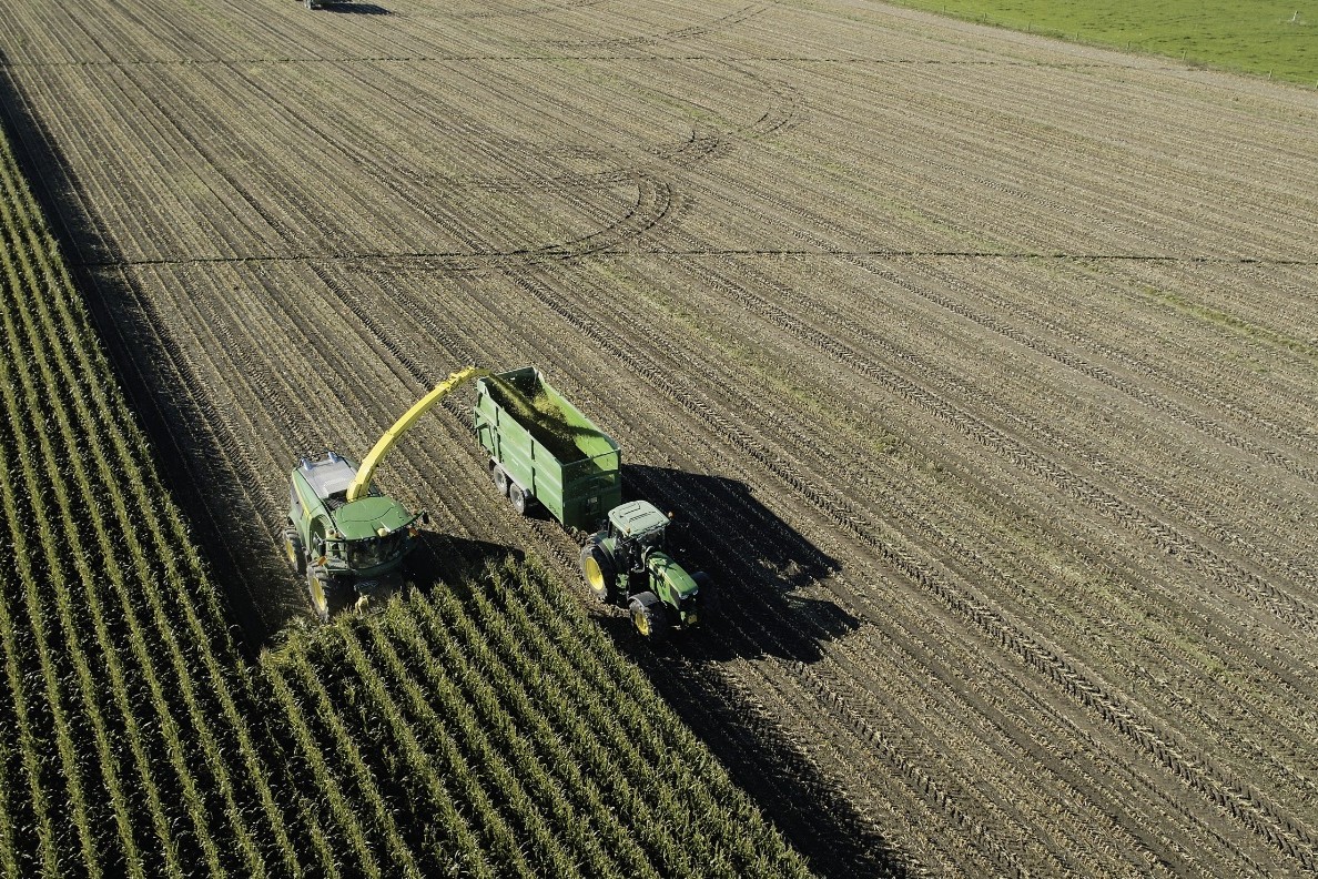
The year 2022 was the rainiest in Gisborne for at least three decades, and summer 22-23 the wettest summer on record. Cyclone Hale struck in January followed by several 100mm plus downpours, then Cyclone Gabrielle in February. Gabrielle was the most damaging storm since Bola 35 years ago. In the interval from Hale to Gabrielle, the Poverty Bay flats received two-thirds of annual rainfall in just three weeks.
Waimata Valley, a sheep and cattle farming area close to Gisborne, is just up the road from one of Gisborne’s most iconic venues, Waiohika Estate. It was where the summer festival RnV took place only 10 days before Cyclone Hale. It slammed the district, plunging Gisborne into a state of emergency that still hadn’t been lifted. (It was lifted on March 14, a month after the cyclone.)
Monowai Station recorded 1056mm of rain in January and February, fully two-thirds of Waimata’s annual rainfall. Waimata Valley Road has been dogged by power outages and closures ever since, caused by washouts, flooding, downed trees and slips on to the perpetually unstable, cracking road.
Three weeks after Gabrielle, Ian and Richard Utting were still checking on and shifting cattle at Waimiro Station from paddocks partly inundated with silt up to a metre-and-a-half deep. The Utting’s cattle were fine, but Ian Utting felt for the “poor buggers” further up the valley, still cut off up some closed side roads with no power or communications.
“One neighbour grabbed a ride in a supply chopper, with his swag, to the other side of his farm to check on his stock. He’s staying in a hut out the back there.”
Only a few kilometres up the road the valley is narrower and damage even more severe. The road almost obliterated with silt accumulated to 5m deep in places. McNaughton’s Bridge, normally 10 to 12m above the surface of the Waimata River, has been under water as evidenced by debris caught on the deck of the bridge.
To the south of Gisborne, Chick and Crispin Bridge farm sheep, beef and grow citrus at Manutuke.
At 6pm on Tuesday March 14, following torrential rain, a substantial landslide buried and obliterated a row of large willow and liquidambar trees, then blew out a debris field entirely, covering 3200 mandarin and lime trees (see p90).
Geonet recorded a 4.4 magnitude earthquake a little north-west of Gisborne.
Chick Bridge said she felt “a bit of a shake” the evening before the landslide. When son Ruie scanned the hills with binoculars the next day he noticed something was very different about the view.
The material from the mass-movement came to rest within two metres of a neighbour’s house, which has been red-stickered. The spoil is 6m deep and contains large blocks of subsoil material, with numerous puddles of water within the hump-and-hollow terrain of the debris. Walking over the slip gives the impression of being on a “glacier” of debris.
The total area of both the slip scar and the deposited material is 13 hectares.
“The area at the top of the slope failure was really very wet, hardly surprising after a very wet winter, a very wet summer, and two cyclones,” Crispin Bridge said.
What comes next?
The Bridges don’t know yet how they are going to deal with the enormous volume of material that’s come down.
“There is far too much to move, so it may be a case of trying to level the surface and smooth it out, but that will have to wait months for the stuff to dry out.
“We’ve lost 13 hectares of productive land,” he said.
While the Bridges’ huge slip was coming down, the Te Arai River was coming up at Tam and Dan Jex-Blake’s Waingake Road farm. Deer fences along Waingake Road still have debris caught in them, right to the top. Several houses along this road have been inundated with water and red-stickered. One house, an old villa, placed on raised foundations after Bola, escaped the flood, just.
Cameron Pihama, first-year Growing Future Farmers (GFF) cadet, was shovelling mud out of stockyards on the Jex-Blake’s Manutuke block. Meanwhile a group of four second-year GFF cadets had travelled over to Gisborne from the King country to volunteer for the clean-up, and were disentangling a fence from the debris. The fence had been brand new only three weeks before Gabrielle sent 2.5m-deep flood water across the flats alongside the Te Arai River.
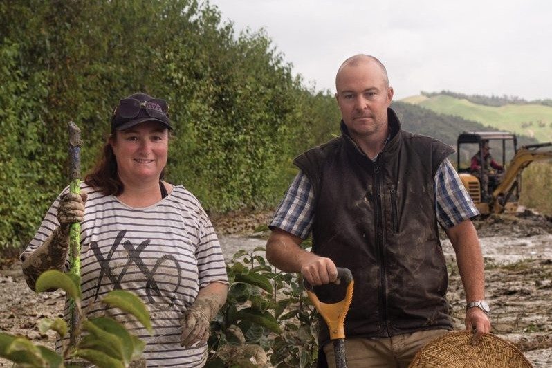
Further down river, Lauren and Ed Hindmarsh have a 7ha avocado, lemon and persimmon orchard at Pipiwhakao Road, Patutahi.
The entire orchard, just like their neighbours, is buried in sticky, suffocating mud up to 600mm deep, left behind when the Te Arai River also flooded their area. To try to save their trees, Lauren and Ed, with the help of a small digger, but mostly with shovels, were scraping mud from around their two-year-old persimmon trees.
Hindmarsh had done his research.
He said Persimmons were hardy trees and there have been examples of them surviving being silted. But he conceded that those surviving trees he’d read about it were mature ones.
“Ours are just babies.”
There is nowhere to put the silt. At the moment they are piling it between the rows, but it is still oozing. Medium term, they will have to remove the mounds of silt, but where to? All of their 7ha block, naturally, is planted in trees.
Lauren Hindmarsh, pausing from the filthy and exhausting work, was just thankful their house had survived, being above the flood. “Only just. By seven centimetres,” she said.