Digging deep for soil quality
A farming operation relies on good soil so it pays for farmers to understand it, Lynda Gray writes.
A farming operation relies on good soil so it pays for farmers to understand it, Lynda Gray writes.
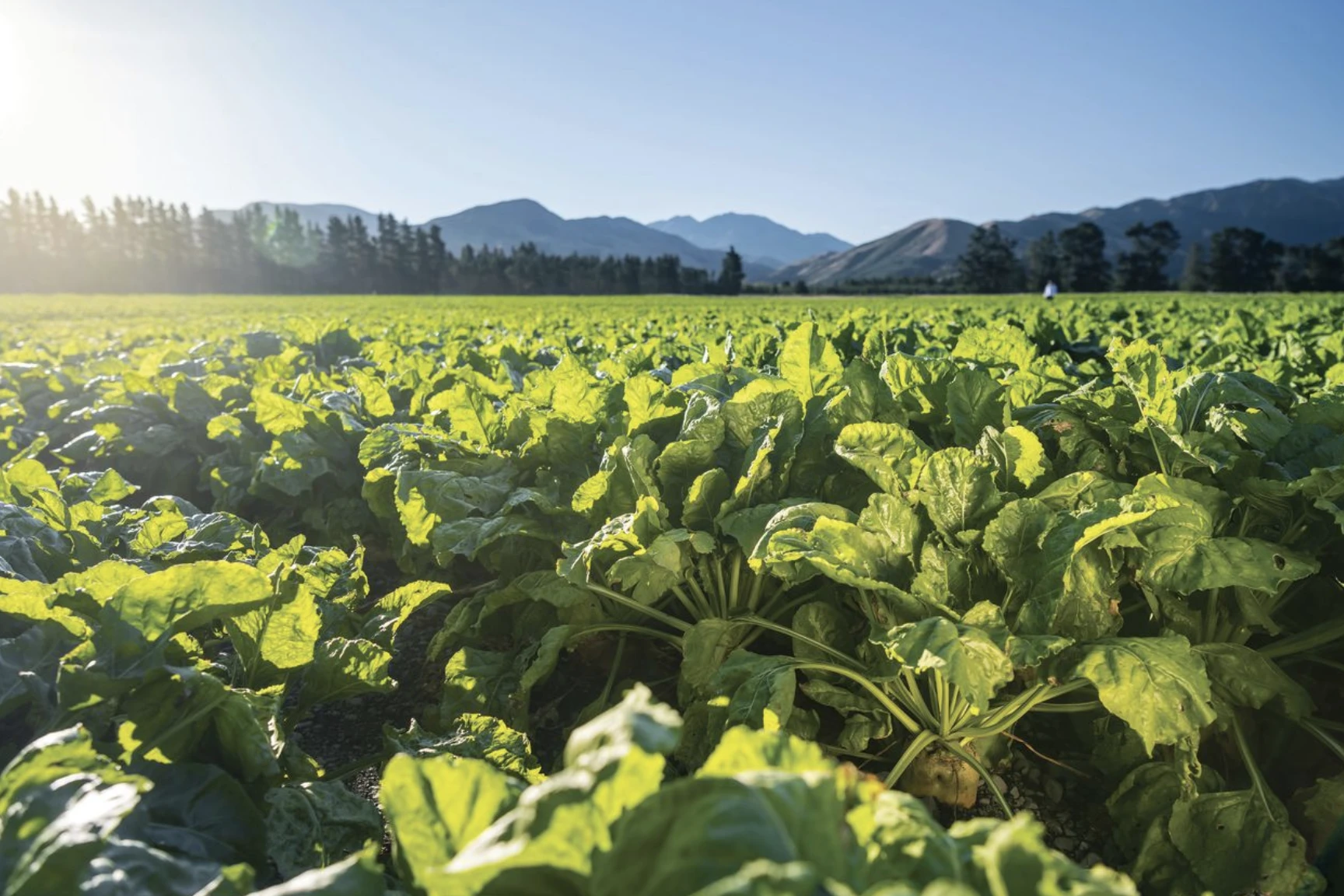
Managing long-term pastures well is the best way to improve soil health and fertility.
That was the big takeaway message from a Central Otago ‘Know your Soils’ event organised by AgFirst Otago and led by soil scientist Associate Professor Jim Moir from Lincoln University.
Long-term or perennial pastures produce dry matter that decomposes over time. Decomposition produces soil carbon, a key contributor to soil health and quality because it improves structure. It also improves fertility through storing more plant- available nitrogen and sulphur.
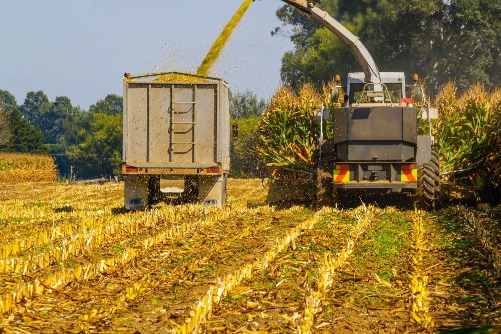
In contrast to long-term pasture, repeated cropping, if not balanced with a pasture rotation, would reduce soil organic matter and therefore soil carbon.
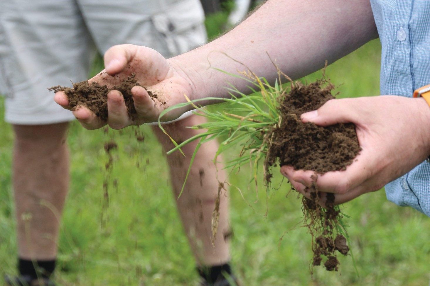
Soil is the foundation of a farming system, so it makes sense to literally dig deep and spend the time to get a basic understanding of structure, texture and limitations, Moir said at the event which focused on Central Otago soils.
“I think we’ve forgotten that not all soils are equal. Different soils have different limitations and it’s important to keep that in mind… if we know a particular soil has poor drainage or water holding capacity then cultivation, cropping and livestock management can be adapted accordingly.”
Moir said the soils of Central Otago were many and varied. They included semi-arid low clay, low carbon, fragile soils with dense clay subsoils. There were also younger river-terrace areas with thin topsoil that had low nutrient-holding capacity.
They had their own particular strengths and challenges but were similar to semi-arid and river- terrace type soils throughout the country.
Moir started out with a Soils 101 overview, explaining the physical, chemical and biological characteristics of some of the broad soil types and some of the measures and online tools that could be used to assess soil quality and fertility.
“Quality” was a subjective term and depended on the fitness of the soil for the desired end use. It was defined according to structure, porosity and nutrient status. The carbon content was a key indicator of quality and health. A soil comprising 3% carbon or greater was good, and a soil underlying a stable long-term pasture would typically be 4–5%. The ash soils of Taranaki and Waikato had unusually high carbon content of 7–9%.
How to increase soil carbon beyond the growing of long-term pasture was still a big unknown. It’s what farmers want to know, but the money to fund the science to find out more is limited, Moir said.
“The current thinking in science is that there’s only so much you can do to encourage the sequestration of carbon in soil.”
Microorganisms and their contribution to soil fertility and health was another big scientific unknown.
“We know soil is riddled with microbes, but our science-based knowledge on how microorganisms contribute to soil health is extremely limited. It [soil] is a massive ecosystem and difficult to measure and study. What we can say is that healthy and high-yielding crops and plants are a biological indicator of a healthy soil.”
Moir encouraged farmers to take a look at S-Map (smap.landcareresearch.co.nz), a free online digital soil map. It had evolved over 20 years from more modern soil surveys and historical mapping data and covered 37% of the country. S-Map lets users map their farms and get detailed soil information such as depth, stoniness, and clay content, as well as water-holding capacity and nitrogen-leaching risks.
Farmers could start out by using S-Map to identify the types and area of each soil on their farms, and to read the accompanying online fact sheets that could point to potential management issues due to soil structure, texture or nutrient status. Moir said one of the minor limitations of S-Map was the designated soil boundaries that may not be 100% as indicated, especially in dynamic landscapes such as active river flood zones.”
Despite that limitation he said S-Map was a big step forward when compared to our older, less accurate soil maps.
SINDI was another Landcare Research online tool (sindi.landcareresearch.co.nz) to help farmers interpret the quality or health of a tested soil sample.