Cheyenne Nicholson
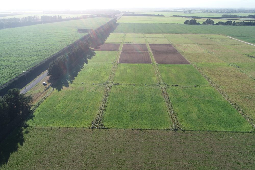
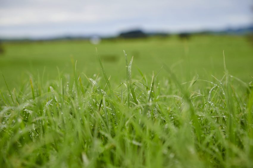
The value of a regular farm walk for pasture assessment is well known. Good pasture management relies on accurate and regular measurements of pasture availability. Most measuring systems currently available are manually operated and are a time-consuming task. Technology is opening the door for hands-free, time saving and less labour-intensive options.
While the most direct estimation of pasture mass is through cutting and weighing pasturing from an area, calibrated eye assessments, hand-held devices like rising plate meters or mobile devices attached to vehicles are the most popular methods of pasture measurement but are still labour intensive. In more recent year’s remote systems like drones, LiDAR and satellite imagery have been investigated.
At the 2019 NZ Grassland conference a number of papers were presented that looked into some of the new technologies being investigated and their possible place on farms throughout the country. Although still very much in the beginning phases, there are some promising technologies emerging. But are the new technologies that are emerging accurate and user-friendly enough to add value onfarm?
STATIONARY PASTURE HEIGHT SENSING DEVICE
Country-Wide spoke to three of the key people involved in the research, Graham Kerr, Colin Eady of Agriseeds and Richard Barton of Farmote to find out more about a newly developed pasture-measuring system, Farmote.
It uses remote static devices (motes) to capture pasture measurements and soil conditions. These can be cross-referenced with multispectral images taken by satellites to provide whole paddock estimations of biomass. Measurements of pasture height are collected nightly.
The system is solar powered, and measurements are transmitted via radio to an accessible web portal and then correlated to biomass using a calibration equation to provide an estimate of pasture dry matter. There is also potential to measure soil and atmospheric conditions.
The device contains six depth sensors located at the top of a pole transmitting invisible near-infrared light and measuring its ‘time of flight’ after it reflects off the objects.
Data is collected from multiple readings each night, as the sensor is more accurate in the absence of interfering incident daylight. Change in pasture height is determined by subtraction of data from the previous night’s sward reading from the current data.
The static sensors remotely collect data meaning this system is less labour-intensive than other options, as well as having the ability to be used in remote locations. The ease of data fed straight to a web portal is a useful service for farmers. The downsides of such devices are that they only measure a defined area of a paddock and do not account for within-paddock variability (though the link with satellite imagery should mitigate that).
The team investigated the accuracy of such a device compared it with a rising plate meter, then assessed the device on a pure perennial ryegrass paddock at a research farm, followed by field testing in a perennial ryegrass/white clover paddock on a commercial dairy farm.
A strong correlation between collected drymatter (DM) yield and device-derived pasture height within the pure perennial ryegrass paddock was observed.
Accuracy has always been an issue with all yield assessment methods, but the team say that calibration work is showing the Farmote to be at the top end of available technologies in terms of accuracy in assessing pasture mass.
The study concluded that the devices were at least as accurate at estimating DM as a rising plate meter with the devices still being tested and further work done to develop a series of calibrations to account for pasture type, temporal changes and environmental effects (e.g. moisture stress).
The measurements made by the devices now need to be extended to cover the entire farm. To achieve this, Farmote Systems has started to cross reference the data from the motes with NDVI measurements made by satellites. Using NDVI imaging of pastures to rank them (in terms of relative pasture mass) has previously been shown to work well.
The challenge will be to combine the data in such a way that provides the accurate and reliable actual biomass measure farmers need.
So, where’s the value for farmers?
The team behind the study say farmers who assess pasture cover regularly make better decisions around pasture management. High growth rates are picked up as they happen, so identified early, rather than the consequence of high growth rates being seen 7-10 days later as surplus pasture (losing feed quality and hindering regrowth).
There is an old saying “What is the difference between a good pasture manager and a bad one?” The answer is “a week”. Good monitoring and the extra week allows informed decisions to be made, whether it’s pre-graze mowing, the contractor to be called, paddocks to be sprayed off for crop, or whatever the relevant response is. Farmote provides daily data on growth rate and accuracy in the trials to date looks very good.
- Paper: Assessing the ability of a stationary pasture height sensing device to estimate pasture growth and biomass.
Satellite and GPS
Regular estimation of pasture availability is a time-consuming on-farm task, but one that is vital for good grazing management. The ability to automate this task is therefore highly valuable on any farming system. Combining satellite sensing of pasture mass with global position for herd location could provide raw data that can potential be used to automatically estimate pasture mass, pasture growth and pasture grazing events across a farm.
With studies done overseas on the feasibility of satellite-based estimation of pasture availability, result have shown that, with suitable local calibration equations, accuracy can be on par with, or better than, proximate measurement techniques.
In order to get accurate data to estimate pasture growth rates, regular measurements are required, as well as accurate records of the timing and location of grazing events. Satellite measurements are often interrupted by cloud cover and grazing records are often incomplete which poses potential issues.
A study by DairyNZ looked at preliminary results from a pilot study to assess the feasibility of combining incomplete satellite pasture cover data with herd location data from GPS collars. This combination could allow farmers to interpolate across the gaps in the satellite data and fill in the blanks of the pasture cover time series for each paddock onfarm. This time series could then be used to estimate pasture growth rate though time, pasture growth differences between paddocks and grazing.
The study, on a Waikato Dairy Farm, had 13 GPS collars recording the location of grazing mobs 16 times an hour, in a herd of about 180. Satellite sensing of pasture cover over the same period was only possibly on 16 days due to cloud.
This preliminary study successful demonstrated the potential of the approach to provide continuous, detailed and accurate pasture information to help farmers optimise grazing management and feed planning. The satellite and GPS technologies that were used are already available at low cost, and the data stream has the potential to be complete automated after initial set up and has potential value in other farm intelligence systems.
- Paper: Preliminary investigation into the feasibility of combining satellite and GPS data to identify pasture growth and grazing.