Brought to you by Blue Skies Weather.
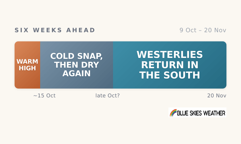
The warm, dry high stays in charge this weekend and into early next week, with light winds, dry weather and unusually warm days, warmest in the south. In the second half of next week a sharp southerly change looks likely to end the warmth, bringing a cold snap to the south and east and wintry showers to eastern coasts, but little rain for the West Coast. High pressure then rebuilds, so the following week looks dry and settled again, with temperatures closer to normal. The westerlies should return to the south and west around the end of October, though recent forecast runs have kept pushing that later. Firm on the warm start, likely on the cold change, direction only on the end of the dry. Against a normal October, usually spring’s windiest month, this stays much drier than usual, and the north and east look dry well into November.
The cold change is the one to watch. In the colder forecast runs it brings snow to hill country in the south and east, possibly low enough to be a brief concern on lower hill country where lambing is under way, and a sharp chill after a week of warmth. Clear, calm nights under the returning high could then bring a frost or two in sheltered inland spots. After that it is a drying story again: good spring growth while soil moisture lasts, but soils in the north and east drying with little rain to top them up, and irrigation demand climbing early. Rain returns first in the west and south, probably not before late October.
The full six-week outlook, with detail for all 13 regions, is available to paid subscribers on Substack bswx.substack.com
CountryWide CONNECT with Andy Thompson & Sarah Perriam-Lampp is our daily rural show livestreamed from 11am-1pm. Visit country-wide.co.nz on how to watch/listen or download the CountryWide CONNECT mobile app, available on Apple iOS and Android.
AI-Assisted Content