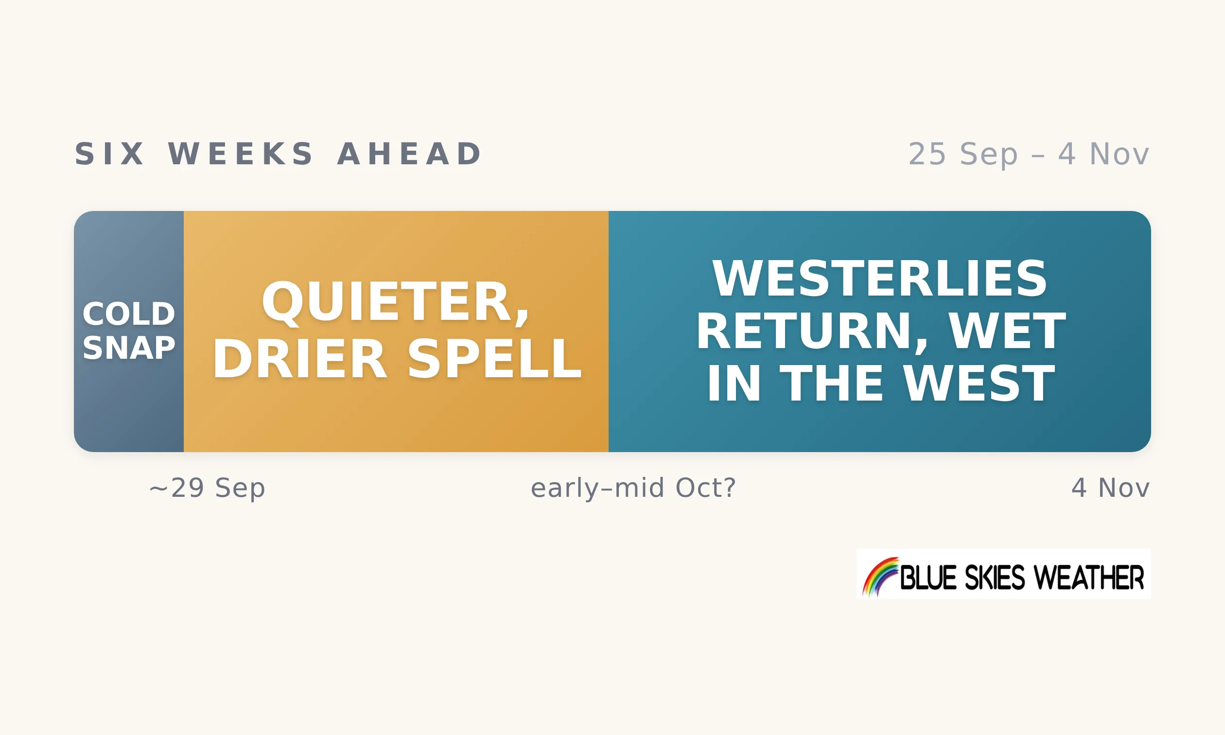
The cold run has one more kick in it: a southerly change on Sunday into Monday, 27–28 September, turning raw in the east of both islands with a significant fall of snow on South Island hill country, possibly reaching the lower hills for a time. High pressure then looks likely to build over the country, bringing a quieter, drier, sunnier spell from about Tuesday 29 September. How long it lasts is less certain: recent forecast runs have swung between early and mid-October for its end, and it will probably break sooner in the south and west than in the north and east. Firm on the weekend change, likely on the quieter spell, direction only on its end, when the westerlies return. Set against a normal late September into October, usually spring’s windiest stretch, this looks quieter and drier than usual. The westerlies will be back, just later.
For most farms this becomes a drying story. Whatever moisture is in the soil now has to carry growth through a dry spell of uncertain length as spring growth gets going, likely longest in the north and east. Days under the high should be mild and sunny, so growth should run well while moisture lasts. First, though, the weekend change matters for lambing and calving on lower hill country, with a brief spell of snow and cold wind possible there. Behind it, clear, calm skies are likely to bring a few frosts to inland and sheltered areas early next week, at budburst and blossom. The west and south should get their rain back first.
The full six-week outlook, with detail for all 13 regions, is available to paid subscribers on Substack bswx.substack.com
CountryWide CONNECT with Andy Thompson & Sarah Perriam-Lampp is our daily rural show livestreamed from 11am-1pm. Visit country-wide.co.nz on how to watch/listen or download the CountryWide CONNECT mobile app, available on Apple iOS and Android.
AI-Assisted Content