The westerlies are in charge for the whole of the next six weeks, and the split across the country is a sharp one. The West Coast, Fiordland and Southland take the rain — heavily so over the coming week, easing but never fully stopping after that, with good alpine snow through the cold changes. The north and the eastern side stay dry the whole way through and get drier as September goes on.
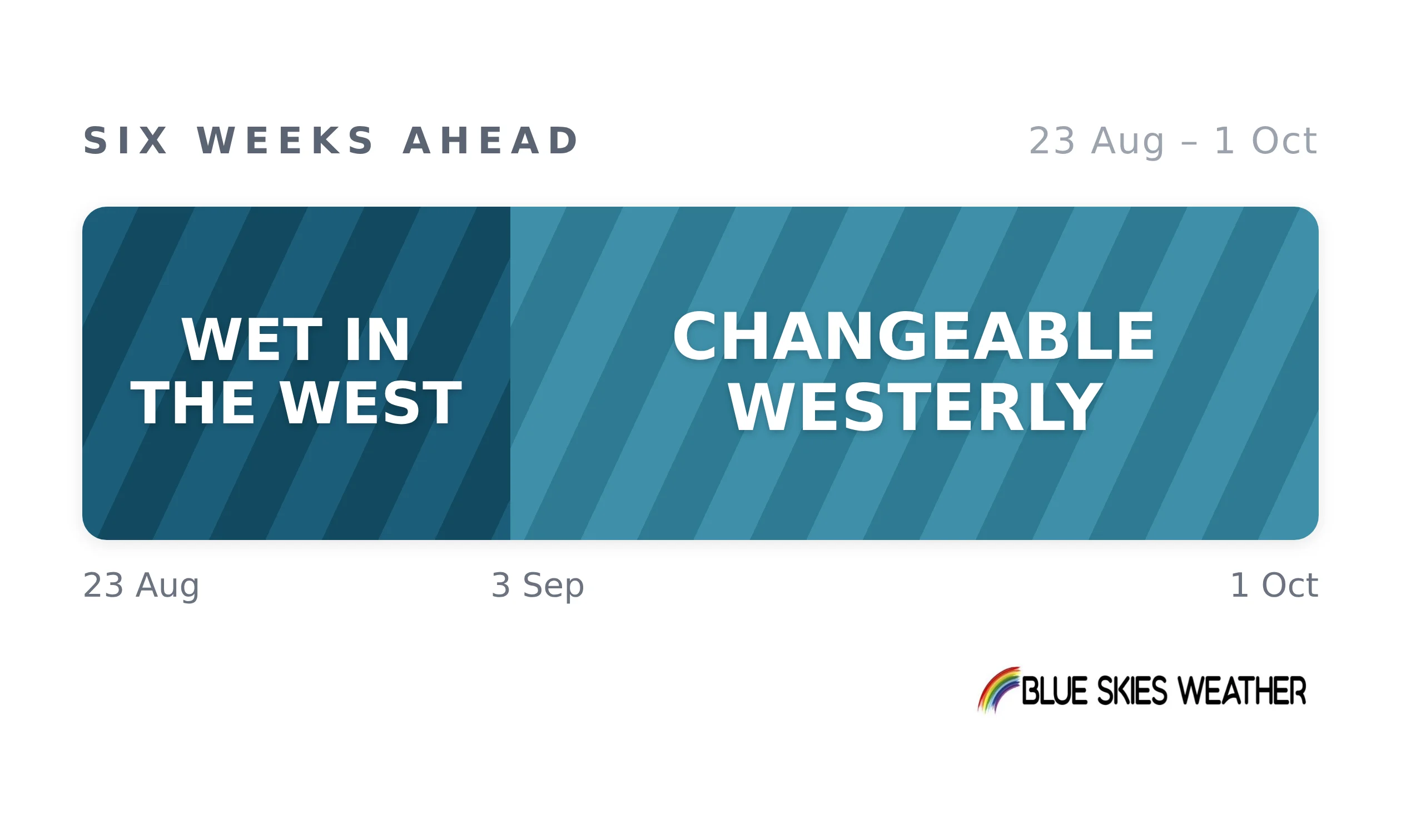
What the six-week average hides is that none of this is steady. Fronts and ridges follow one another every two or three days, so the pattern is better read as a succession of changes than as a spell of anything. Colder southerly air pushes in around the start of September and again in the third week. Set against a normal run into spring, this is a more mobile month than usual, with fewer of the settled interludes that normally break it up.
On the ground that pulls two ways. The west gets its water and then some, with catchments and the snowpack both filling; the east and north go the other way, carrying a dry run into the part of spring when growth is meant to be lifting, and the drying accelerates under repeated westerly wind. Pasture growth improves broadly on August, fastest in the south.
The bigger practical point is the pace of change: the fine spells are real but short, two or three days at a time rather than a settled week, and there are more of them than a six-week average makes it look.
Full six-week outlooks for 13 regions are issued every Tuesday. Read more here — CountryWide readers get 25% off here.
CountryWide CONNECT with Andy Thompson & Sarah Perriam-Lampp is our daily rural show livestreamed from 11am-1pm. Visit country-wide.co.nz on how to watch/listen or download the CountryWide CONNECT mobile app, available on Apple iOS and Android.